Bangkok Flooding: Video of Chana Songkhram (Bangkok Waterfront)

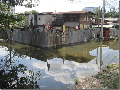
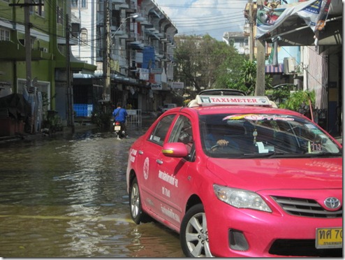
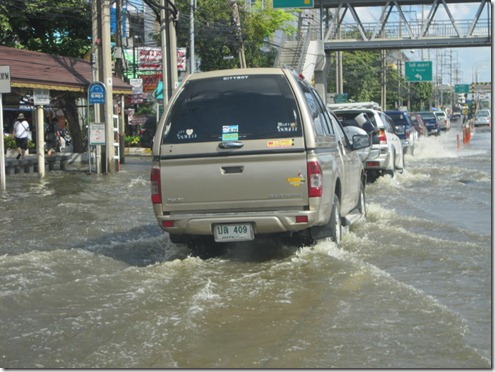
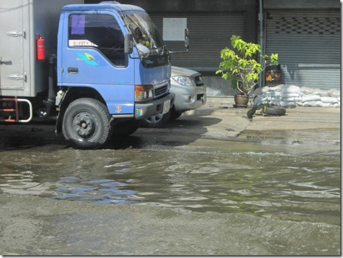
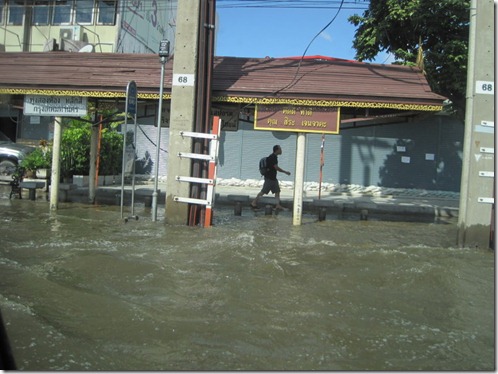
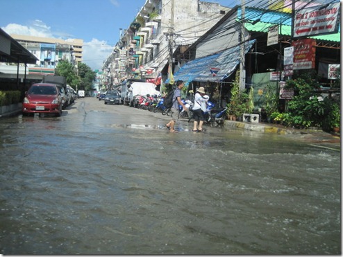
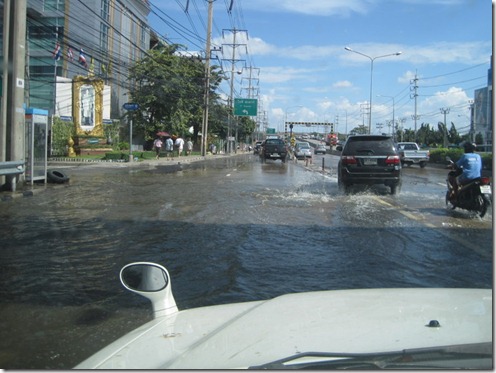
This morning I took photos and videos of the flooding in downtown Bangkok. It’s the morning after the Gulf of Thailand started pushing water up the Chao Phraya River.

Most of downtown is dry except for some heavy flooding in some areas near the river. I visited some neighborhoods hit hard by flooding, including Chana Songkhram (the waterfront), Chinatown, and the area near the Grand Palace and Sanamluang (park). I will post more photos and video soon.  Check back frequently for updates.

The news is generally good today with the water level topping out and the barriers and dykes holding up overnight. I hear that water will continue to be at its zenith through tomorrow and then start to recede. If we make it to Tuesday in good shape, we should be fine thereafter — assuming that the situation doesn’t worsen. We shall see.

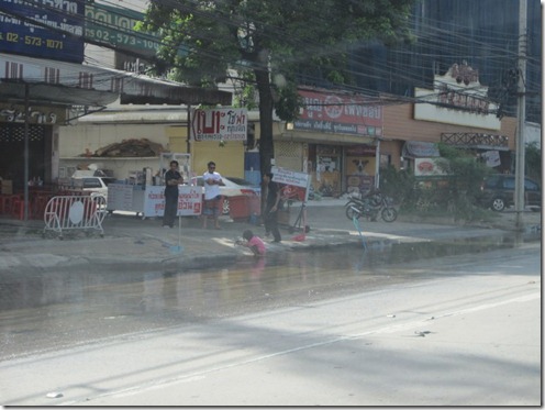
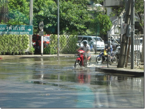
Here is some video footage from a street in Chana Songkhram. Other streets were blocked off because the flooding was worse there. One street over, it was dry.

[youtube=http://www.youtube.com/watch?v=NoIGaEkVQLc&w=448&h=277&hd=1]
Chana Songkhram, Bangkok, Thailand. October 30, 2011.


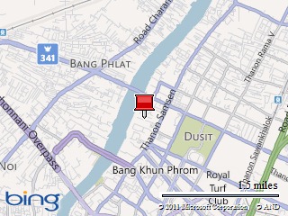
Map picture

Bangkok Flooding: Photos of Khlong Prapa and Lak Si

October 29, 2011

Bangkok, Thailand

9:30 p.m. Local Time

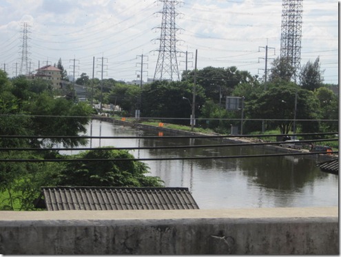
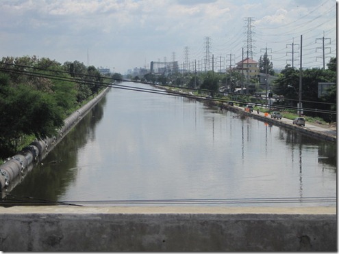
Here’s the second set of photos taken today on Chaengwatthana Road near Khlong Prapa (Waterworks Canal) and Government Complex in Lak Si. The road there was mostly dry. We saw some flooding in open spaces and among buildings with foundations below street level. Khlong Prapa was brimming with water but not overflowing, although the destruction of a dyke further north might raise the water level again. My own opinion is that the situation remained stable heading into the high water period tonight and tomorrow.

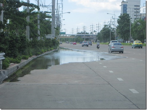
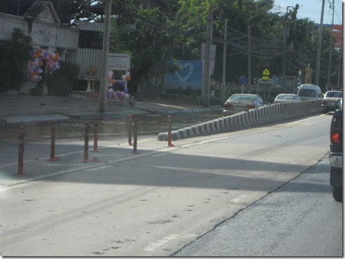
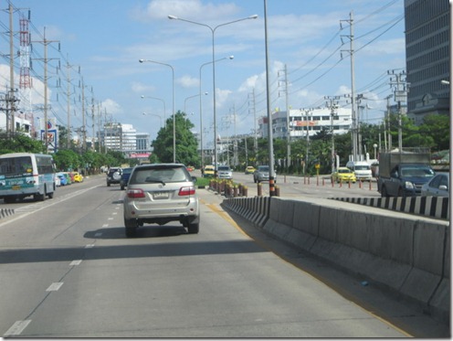
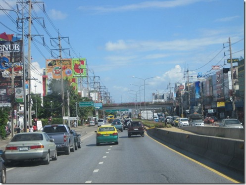
Photos showing just a bit of standing water on Chaengwatthana Road.

2011_10_29 Khlong Prapa (3)

2011_10_29 Khlong Prapa (4)

2011_10_29 Khlong Prapa (5)

2011_10_29 Khlong Prapa (6)

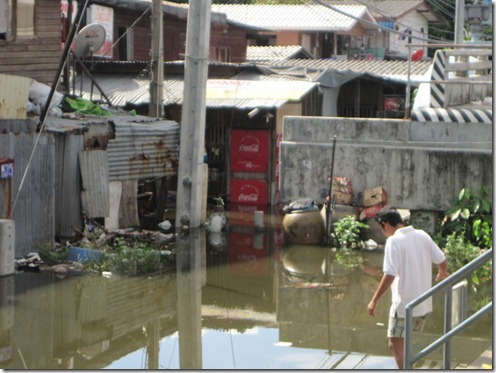
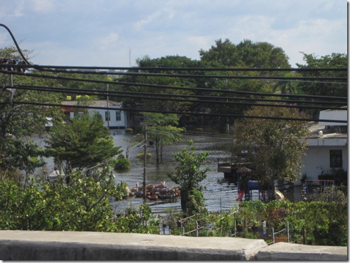
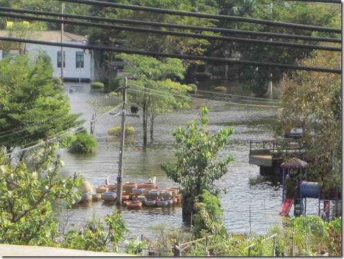
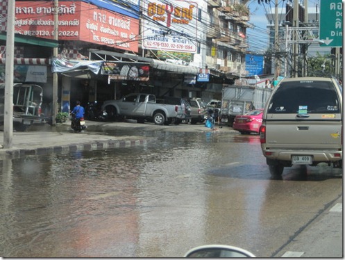
But there was a lot of flooding in residential areas below street level. These photos were taken near Government Complex, which was also partly flooded.

2011_10_29 Khlong Prapa (2)

2011_10_29 Khlong Prapa (8)

2011_10_29 Khlong Prapa (9)

2011_10_29 Khlong Prapa

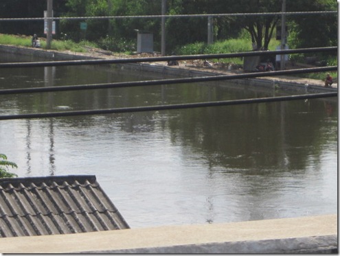
The water level at Khlong Prapa was high but not overflowing.

2011_10_29 Khlong Prapa (11)

2011_10_29 Khlong Prapa (12)

2011_10_29 Khlong Prapa (10)

Bangkok Flooding: Photos of Lak Si and Don Mueang

October 29, 2011

Bangkok, Thailand

6 p.m. Local Time

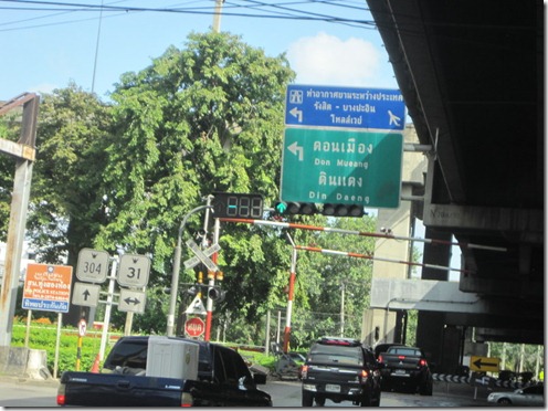
We drove October 29 on Chaengwatthana Road heading toward Don Mueang Airport in Nonthaburi Province north of Bangkok. As you may have heard, flight operations at the airport were cancelled until at least November 2 because of flooding, and the airport has become a giant shelter for thousands of flood victims. While we saw some flooding on Chaengwatthana, I’m cautiously optimistic that the situation there will soon be under control. I had heard that these areas were flooded, and the media painted a bleak picture of the flooding. We saw water on the street and some houses partially submerged, but other areas were dry, and the roads were generally passable. That doesn’t mean that we’re through this yet, but at least the situation appears stabilized. For now.

Of course, things could change quickly. Right now, 6 p.m. on October 29, is supposed to be the high water mark when the Gulf of Thailand pushes water up the Chao Phraya River. That could cause more flooding upstream. Also, it poured rain last night, which only made the situation worse. Some Bangkok residents, who are fed up with officials’ efforts to protect some areas while allowing others to flood, have taken matters into their own hands by destroying dykes and barriers. The Bangkok Post reported that residents destroyed a dyke on the Khlong Prapa (Waterworks Canal) in Pathum Thani. The canal, which feeds Bangkok’s water system, could overflow again. As of 3:30 p.m. today, the canal looked high but not overflowing.

Tomorrow I plan to look around central Bangkok and will take updated photos of the flooding in the center.

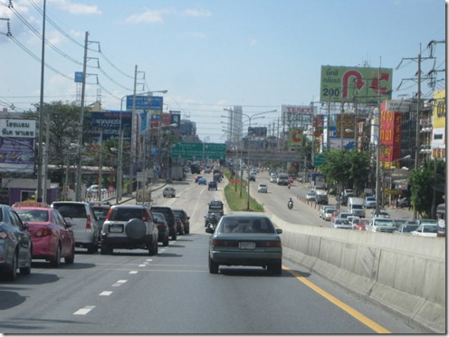
Here are photos we took in the Don Mueang area in Nonthaburi Province. These are the dry sections of Chaengwatthana Road.

2011_10_29 Don Mueang

2011_10_29 Don Mueang (2)

2011_10_29 Don Mueang (10)

As we headed west toward the airport, the flooding started to creep onto the roadway.

2011_10_29 Don Mueang (3)

2011_10_29 Don Mueang (4)

2011_10_29 Don Mueang (5)

2011_10_29 Don Mueang (6)

2011_10_29 Don Mueang (7)

2011_10_29 Don Mueang (8)

2011_10_29 Don Mueang (9)

2011_10_29 Don Mueang (11)